State highway 1 is the spine of New Zealand’s road network. It runs from Cape Reinga at the tip of the North Island to Bluff at the bottom of the South Island, linking almost every major city and countless small towns in between. If you drive, ship freight, tour by campervan, or plan a classic road trip, you will use it. This guide explains what state highway 1 is, how it works day to day, where it shines, where it struggles, and how to make the most of it safely and efficiently.
What is
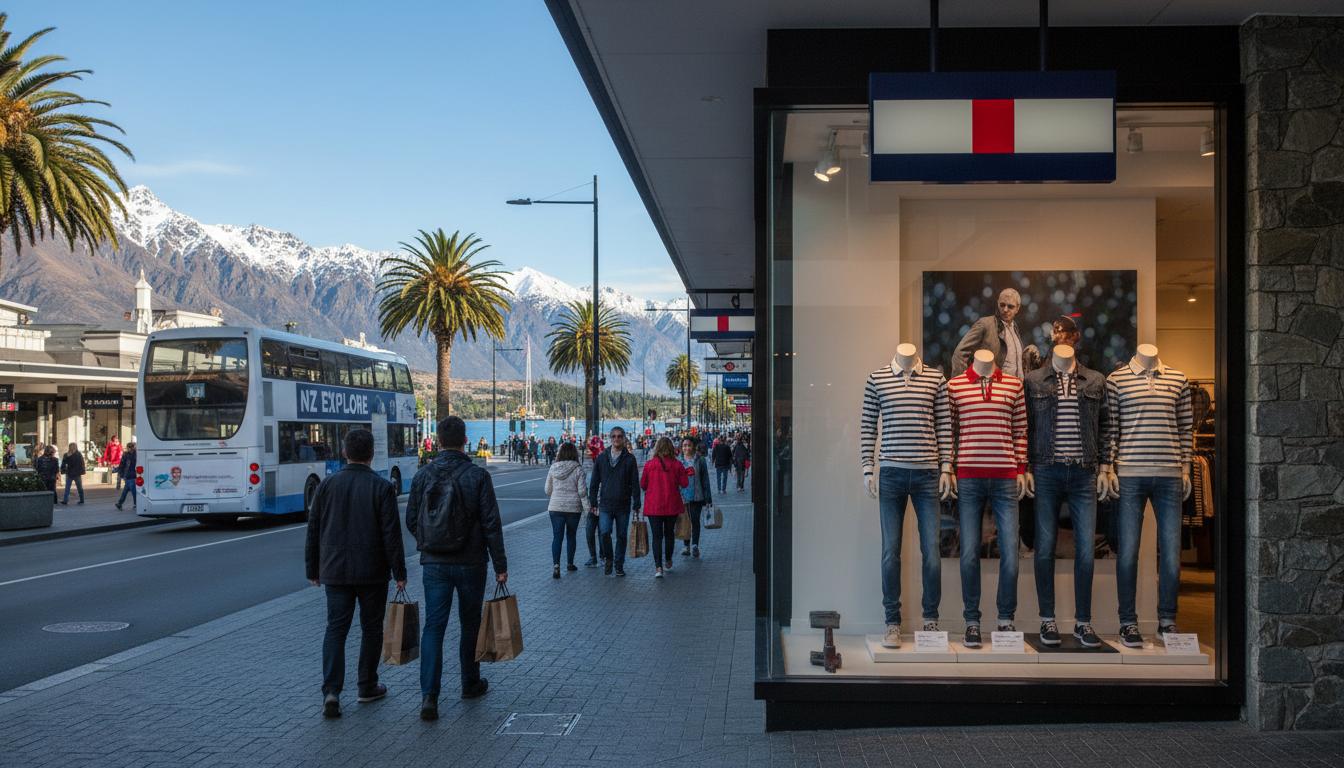
State highway 1 (often written SH1) is New Zealand’s primary national route. It stretches for roughly two thousand kilometres from Northland to Southland and includes a Cook Strait ferry link between Wellington and Picton. The highway passes through or near Auckland, Hamilton, Wellington, Picton, Christchurch, Dunedin, and Invercargill, connecting people, freight, services, and tourism hubs.
SH1 is managed by Waka Kotahi NZ Transport Agency. Funding and maintenance prioritise safety, resilience, and efficiency, with upgrades delivered as motorways, expressways, or targeted improvements such as median barriers, shoulder widening, and safer intersections.
The route is continuous in purpose but split by geography. There is a North Island section from Cape Reinga to Wellington and a South Island section from Picton to Bluff. Vehicles transfer between islands on the Cook Strait ferries, then continue on state highway 1 at the other terminal.
Why state highway 1 matters
- It carries a large share of long-distance passenger and freight traffic.
- It underpins domestic tourism and access to essential services.
- It links ports, airports, logistics hubs, and rural producers with major markets.
How it works
State highway 1 is not a single road type. It switches between urban motorways, modern expressways, classic two-lane rural stretches, and coastal sections with tight curves. Expect conditions to change across regions and seasons.
Road types and design
- Motorways: Fully separated, no property access, on/off-ramps only. Examples include the Auckland Northern and Southern Motorways and Wellington’s Transmission Gully corridor.
- Expressways: Limited access, divided median (often safety barrier), higher speeds, fewer intersections. The Waikato Expressway is the flagship example.
- Two-lane rural highway: Most common outside big cities. Mix of passing lanes, slow-vehicle bays, and at-grade intersections.
- Urban arterial: Sections with traffic lights, bus lanes, or lower speeds through towns and suburbs.
Speeds and safety
- Typical open-road limit is 100 km/h, dropping through towns and work sites.
- Median barriers, rumble strips, and wide centrelines now feature in many high-risk areas.
- Police enforce speeds and impairment; safety cameras operate on several stretches.
Tolls and payment
State highway 1 includes one well-known toll section: the Northern Gateway Toll Road between Ōrewa and Pūhoi, north of Auckland. Cameras read your plate; you pay online, via app, or by account. Signposted free alternatives exist, but they may add time.
Cook Strait ferry link
Between Wellington and Picton, the SH1 route uses Cook Strait ferries. Bookings are essential in peak seasons and on long weekends. Vehicles roll on at one terminal and continue on state highway 1 at the other. The crossing typically takes about three to three-and-a-half hours, weather permitting.
Weather and disruptions
- High winds, rain, and slips can affect coastal and hill sections, such as the Brynderwyns in Northland and the Kaikōura coast.
- Snow and ice can close or delay the Desert Road (Central Plateau) in winter. Detours are signposted.
- Earthquakes and storms can cause longer closures; resilience works have reduced—but not eliminated—these risks.
Types / examples
Here are common environments you’ll encounter on state highway 1, with examples to help you plan expectations and timing.
| Section | Island / Region | Road type | Key features | Typical limit | Watch-outs |
|---|---|---|---|---|---|
| Auckland Northern & Southern Motorways | North Island / Tāmaki Makaurau | Motorway | Multiple lanes, CMJ to Pūhoi and to Bombay; bus lanes; frequent on/off-ramps | 80–100 km/h (variable) | Peak congestion, lane changes, incidents causing rapid slowdowns |
| Waikato Expressway | North Island / Waikato | Expressway (divided) | Long median barriers; Hamilton bypass improves flow | 100 km/h | Roadworks and seasonal fog; watch for agricultural vehicles at interchanges |
| Desert Road (Waiouru–Turangi) | North Island / Central Plateau | Rural two-lane | Open alpine plateau with views of Tongariro peaks | 100 km/h (conditions vary) | Winter snow/ice closures; limited services; strong crosswinds |
| Transmission Gully (Mackays to Linden) | North Island / Wellington | Motorway/Expressway | Modern grade-separated route, bypassing coastal pinch points | 80–100 km/h (variable) | Steeper gradients; weather exposure; occasional high-wind warnings |
| Kaikōura Coast | South Island / Canterbury–Marlborough | Coastal highway | Clifftop and shoreline driving; seals and scenery | Varies by segment | Rockfall/slip risk in heavy rain; temporary traffic controls |
| North of Dunedin (The Kilmog) | South Island / Otago | Hilly rural | Steep grades and curves | 80–100 km/h | Trucks at slow speed uphill; wet-weather braking distances |
Urban versus rural reality
- Urban SH1: expect merging, variable limits, bus lanes, and ramp-signal controls.
- Rural SH1: plan fuel, food, and rest stops; passing lanes can be sparse in some regions.
Pros and cons
Pros
- Direct north–south continuity with simple wayfinding from Cape Reinga to Bluff.
- Frequent upgrades improve safety and reliability on busy corridors.
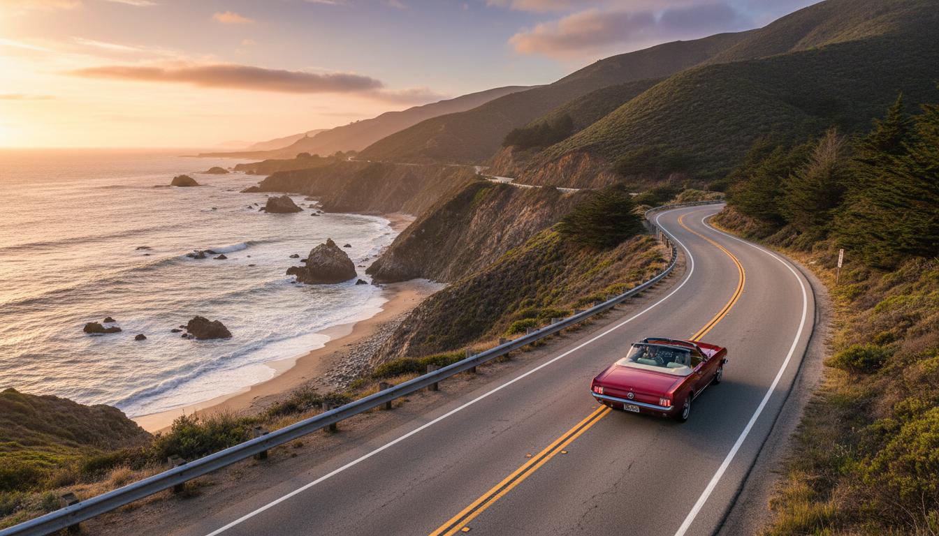
- Access to iconic sights: Bay of Islands, Taupō, Wellington, Marlborough Sounds, Kaikōura, Canterbury Plains, Otago coast.
- Good support services: fuel, food, accommodation, and EV charging in most towns.
Cons
- Congestion in Auckland and Wellington peaks, and on holiday weekends.
- Exposure to slips, storms, and seismic activity in certain corridors.
- Mixture of modern and legacy road standards; some undivided sections remain high risk.
- Work zones and long-term projects can add delays.
How to use or choose
Whether commuting across a city or touring both islands, a little planning on state highway 1 goes a long way.
Step-by-step: plan a smooth SH1 trip
- Check live conditions: use the Waka Kotahi journey planner and local council updates for closures, works, and delays.
- Confirm weather: look for wind warnings, snow on the Desert Road, and heavy rain along coastal sections.
- Book the Cook Strait ferry early if crossing between islands; allow buffer time for queues and sail delays.
- Decide route and timing: avoid urban peaks in Auckland and Wellington; consider early starts for long legs.
- Sort tolls: if using the Northern Gateway Toll Road, set up payment or choose the free alternative route.
- Plan stops: mark fuel, food, rest areas, and EV chargers; aim for a break at least every two hours.
- Prepare the vehicle: tyres, lights, washer fluid, and a basic kit (warm layer, water, phone charger).
- Drive to conditions: keep safe following distances, use passing lanes, and expect sudden speed changes.
Choosing routes and timing
- Northland–Auckland: summer traffic can swell; consider travelling early morning or late evening.
- Waikato: expressway speeds are steady; watch for fog and farm machinery near interchanges.
- Wellington: Transmission Gully has improved reliability; still allow margin for wind and incidents.
- Marlborough–Kaikōura: check for slips after heavy rain; pack patience for controlled one-lane sections.
- Canterbury–Otago: long flat stretches can induce fatigue; schedule regular breaks.
Practical tips
- Overtaking: use passing lanes and marked opportunities; never cross solid centrelines.
- Heavy vehicles: give trucks space on hills and corners; expect longer stopping distances.
- Cycling: bikes are not allowed on motorways; secondary routes are often safer and more scenic.
- Campervans: allow extra time for hills and wind; secure everything inside before you set off.
- EVs: major towns along state highway 1 have fast chargers; plan around gaps in rural stretches.
FAQ
Is state highway 1 fully motorway from north to south?
No. State highway 1 includes motorways, expressways, and many two-lane rural sections. Expect frequent changes in speed limits and design standards.
How long does it take to drive from Cape Reinga to Bluff on SH1?
Allow several days. Pure driving time can exceed 25 hours, plus the Cook Strait ferry crossing and normal stops. Most travellers spread it over a week or more to enjoy the journey.
Where is SH1 tolled?
The Northern Gateway Toll Road between Ōrewa and Pūhoi on Auckland’s northern corridor is tolled. Payment is by plate recognition via online or account options. A signposted free alternative exists.
Is the Cook Strait ferry part of state highway 1?
Yes. The official SH1 route includes the ferry connection between Wellington and Picton. Vehicles continue on state highway 1 at the opposite terminal.
Does SH1 close in winter?
Sometimes. The Desert Road is the most commonly affected by snow and ice. Other closures can occur due to slips or storms. Always check live updates before you travel.
Are there EV chargers along state highway 1?
Yes. Most towns and highway service centres have fast charging. Coverage is improving year by year, but plan for longer rural gaps.
What are the most scenic stretches of SH1?
Highlights include the Far North beaches, the Desert Road’s alpine views, Wellington Harbour approaches, the Marlborough Sounds from Picton, the Kaikōura coast with marine life, and the Otago coastline.
Can I avoid Auckland congestion on SH1?
Travel outside weekday peaks, use real-time traffic apps, and consider early weekend departures. Detours exist but often add distance and time.
Who maintains and upgrades state highway 1?
Waka Kotahi NZ Transport Agency manages SH1, working with contractors, councils, and emergency services to maintain safety and resilience.
Final pointers
State highway 1 is the country’s great connector. Treat it with respect, give yourself time, and plan for changeable conditions. Do that, and SH1 becomes more than a line on the map—it becomes the simplest way to reach the places and people that matter, from Cape Reinga to Bluff.